top of page


Servicios de principio a fin desde el momento en que compras tu terreno y comienzas a planificar, hasta el momento en que promueves tu proyecto. Nuestro set de servicios están contigo en cada paso del camino.
Planea. Construye. Promociona.
Servicios


Casos de Estudio

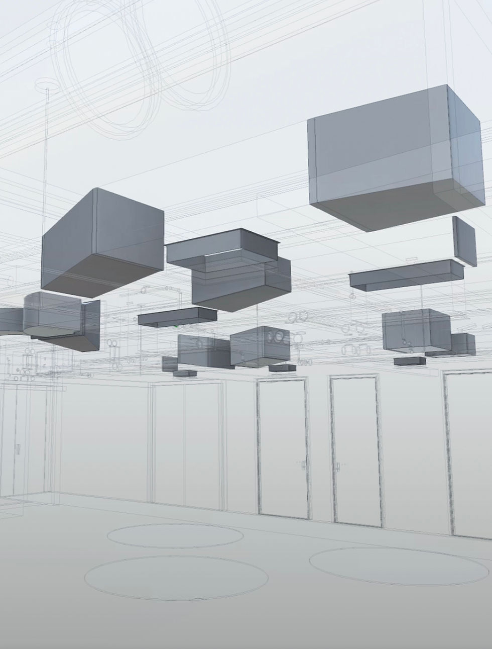
Archivos de AutoCAD para remodelación. Piso y techo. Arquitectónico y eléctrico. 200 m². Listos en 4 días.

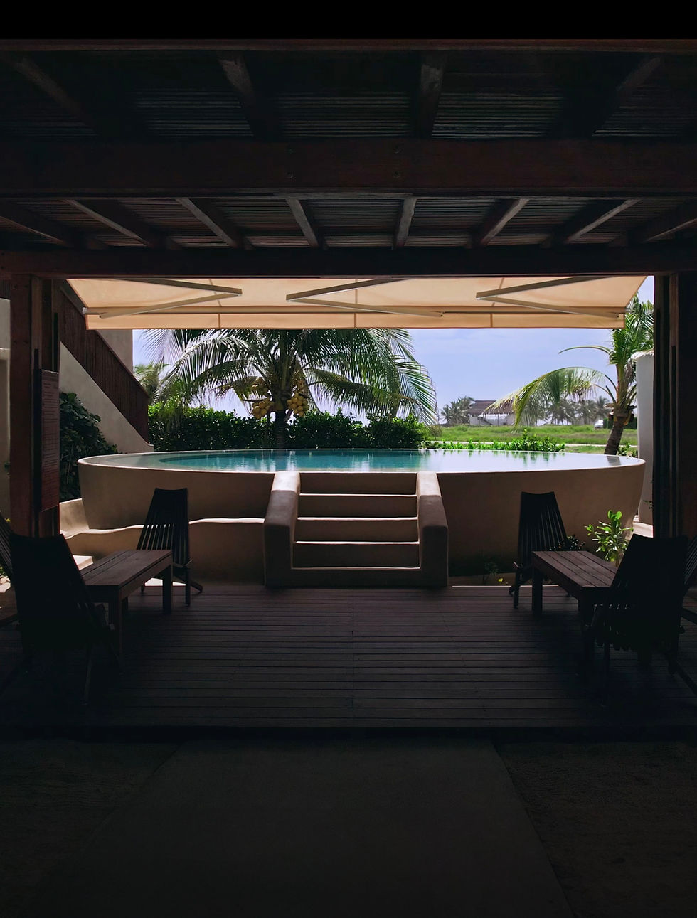
De nueva y desconocida a popular con nuestro tour virtual y foto profesionales.

Contacto
CLIENTES


bottom of page