top of page

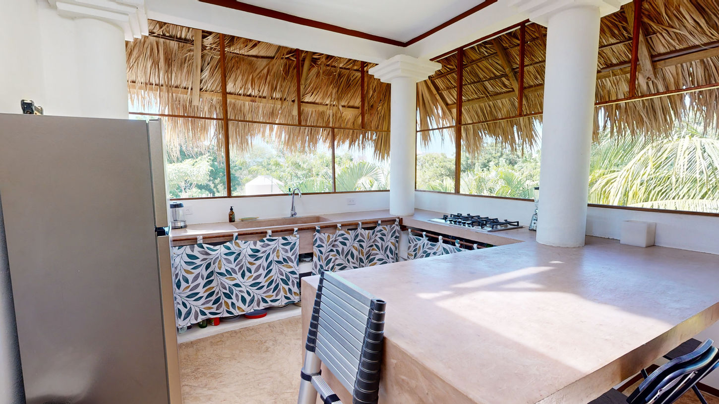
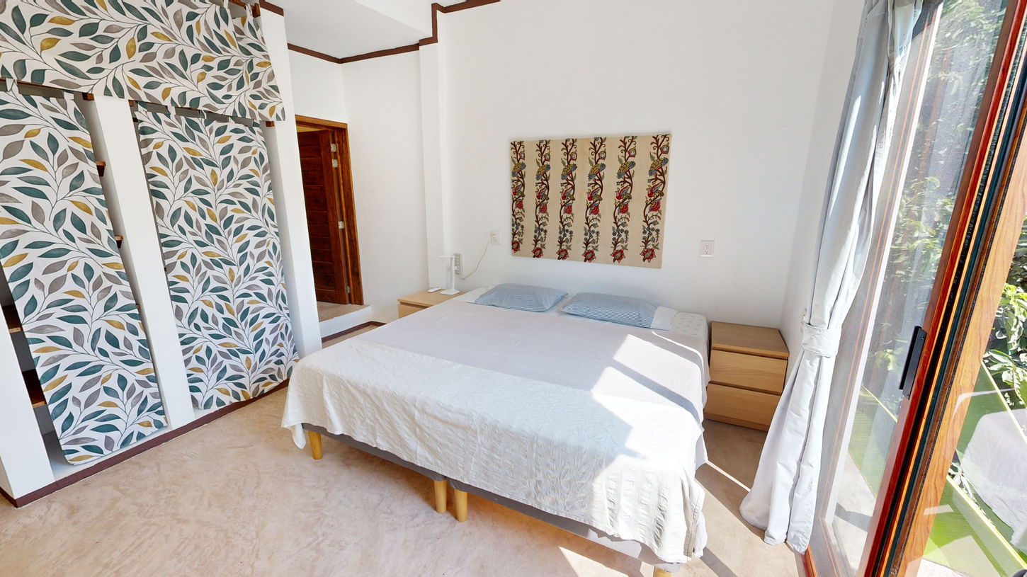
AIRBNB LISTING - CASA LAGARTIJOS
360° Virtual Tours Gallery
Unrivaled precision. Our high-resolution, detailed topography maps, 2D and 3D maps capture every contour of your project. Precise within 2-5 cm. Ready for use in AutoDesk and popular Architecture, Engineering & Construction software.
Our topography and elevation maps empower professionals across industries, from agriculture to construction and real-estate, with the insights needed to optimize workflows, reduce costs, and minimize environmental impact. Elevate your decision-making process with data-driven intelligence. Ready in as little as 48 hours.
Save time and money.
Make informed decisions.
Gallery
Upgrade your listing today. Get your virtual tour and professional photos in as little as 48 hours.
Contacto
CLIENTES


bottom of page


